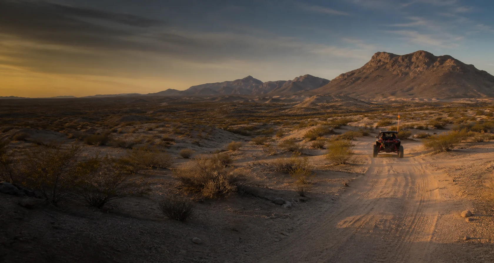
Near Safford, Arizona · BLM public lands
Ride the desert.
Then soak in 1928.
Live wind and heat, primitive camping, hot-well status, BLM access, maps, safety, Safford fuel, and a trip planner built for the complete desert weekend.
Mixed desert terrain106°F since 1928Primitive BLM camping
The desert ride console
Know before the trail.
Current data where available. Plain-language fallback answers remain visible to visitors and search engines.
Live weather, fire, and Arizona fuel context load here. Official planning links remain available if a live feed cannot respond.
The permanent answers
Simple facts. No scavenger hunt.
Site fee$3Per vehicle per day · $30 annualCampingPrimitiveSmall BLM campground · self-containedDrinking waterBring itHot-well water is not the camp water planFacilitiesVault toiletsVerify current project accessSafety flagBring oneVisibility matters in mixed terrainServicesSafford areaFuel, food, lodging, parts

Dune Guide USA Radio Network
The dunes have a soundtrack.
Original destination songs, Dusty Roads, remixes, and a few questionable sponsors.
Listen here ♫Save it before you leave cell service. Your ride can have a soundtrack too.
Free Dune Guide USA Arcade
A little sand.
A lot of adventure.
Explore the virtual Hot Well Adventure, with desert riding, campground details, and the soaking area. Choose a ride and look around before your next Arizona trip.
Hot Well Adventure available now. The virtual scene represents the pre-upgrade layout, not current construction conditions.
Enter the free Arcade →Play in your browser. Virtual Adventures are for fun, not a substitute for current maps or riding rules.


Free safety tool Works beyond the bars
Mark camp.
Find your way back.
Save camp before you ride. Camp Compass uses GPS satellites to show the distance and direction back, even where cell service disappears. Your marked camp stays on this phone unless you choose to share it.
- Works offlineGPS does not need a cell tower
- One compassUse it at every Dune Guide destination
- Share your locationSend coordinates when help can reach you
Set it up before the trip. Installation needs a signal.
Build the weekend
Start with the question you have.
01
Where do we camp?
Primitive sites, wind, water, facilities, project notices, and what the desert will not provide.
02Which routes are open?
Official boundaries, arrival, offline maps, camp coordinates, and emergency exits.
03What is the terrain like?
Sandy two-track, low rises, rock, washes, brush, and a route the whole group can finish.
04What if it is our first trip?
A practical sequence from Safford supplies to the first orientation loop and respectful soak.
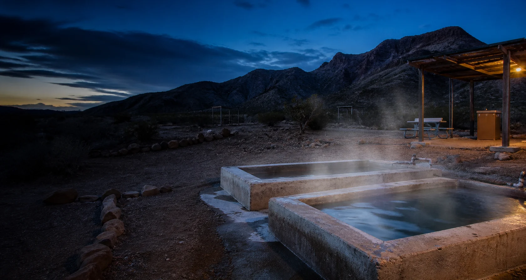
More than a riding area
Desert above.
Geothermal water below.
Geology, Indigenous homelands, desert routes, public land, and the wells that gave this destination its name.
Read the story